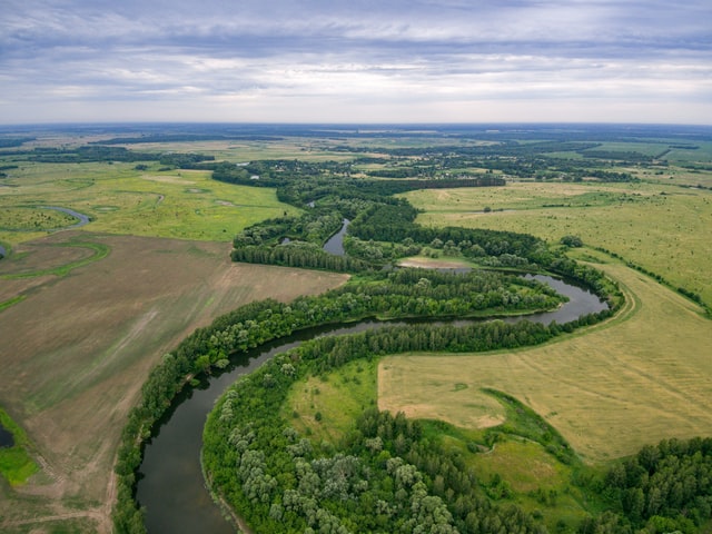
Agriculture
- We reach to the dangerous areas such as hill slopes and steep valleys
- Limited overspray
- Multi-role capabilities including spraying and fertilizing
- Map agriculture fields in minutes to conduct stand counts, identify variability, and make in-field decisions , in real time in field.
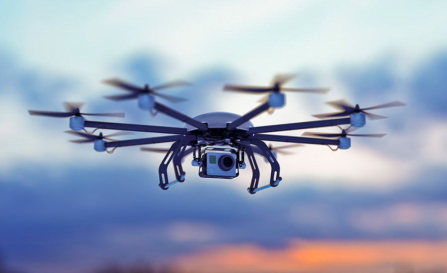
Surveillance
- Discreet or covert long distance surveillance day or night.
- Targeted security or observational surveillance of suspected activities.
- Providing support, procedures and policies to effectively use drone technology that is in line with industry regulations.
- We bring you the systems and operational expertise to ensure your operation is secure.
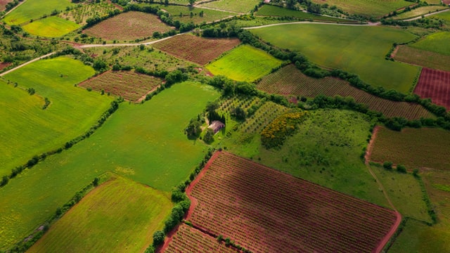
Mapping and NDVI
- Ascertain crop and vegetation health through ‘Normalised Difference Vegetation Index’ surveys, utilising multispectral sensors which recognise areas that are too dry or need improvement.
- Aerial mapping of properties and ‘Geotagging’ with complete geographical co-ordinates. Including metadata such as latitude and longitude coordinates, altitudes and bearings.
- Forest Fire Recovery observation.
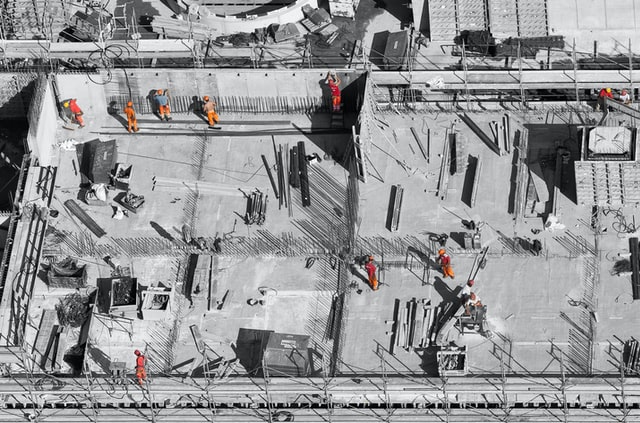
Construction Inspection and Monitoring
- Monitoring – Construction site and progress
- Collecting all aerial data required for photogrammetry, without hindering any on-going constructions or activities
- Inventory Management
- Volumetric Estimation
- Structural Integrity Maintenance